This Thursday, September 29, marks "World Maritime Day". This is an opportunity to take a closer look at the Law of the Sea, which is little known to the general public, yet essential to the preservation of the maritime environment.
While the world's oceans and seas are a fabulous natural playground for surfers, windsurfers and kitesurfers, this marine environment is also a zone governed by rights, established by the International Maritime Organization, which has 174 member states. Each year, this NGO organizes a "World Maritime Day". The theme of the 2022 edition, which takes place this Thursday, September 29, is "The maritime sector's ecological transition towards a sustainable future".
This is a vital issue, given that international shipping accounts for around 80 % of world trade, and that the oceans represent a surface area of over 360 million square kilometers, or 72% of the earth's surface. After long being governed solely by the principle of freedom of the seas and a set of customary rules, the circulation and exploitation of the seas and oceans was the subject of the first United Nations conference, held in Geneva in 1958. This culminated in the 1982 Montego Bay (Jamaica) Convention on the Law of the Sea, which defines a global legal regime for the world's oceans and seas, and sets out detailed rules governing all uses of the oceans and access to their resources. The treaty came into force on November 16, 1994, and has since been ratified by 168 states, including France in 1996. Here are a few key points on how the law materializes as soon as you leave the seashore.
How far is a state sovereign over the sea?
Coastal states have sovereignty over their territorial sea, which extends up to 12 nautical miles from the coastline, or just over 22 km. Regarding natural resources, a state has an "Exclusive Economic Zone" (or EEZ) of 200 nautical miles (370 km) beyond its coastline.
What are the exceptions to the right of a State over the sea?
The territorial sea of a State refers to what is "a prolongation, a continuation, an extension" under the sea of the territory of the riparian State. If this continental shelf includes the seabed and its subsoil up to a distance of 200 nautical miles, it can extend up to 350 nautical miles (648 kilometers). States claiming such an extension must however have their claims recognized by an international commission, the Commission on the Limits of the Continental Shelf. This is what France did a few years ago for its continental shelf off the coasts of Martinique, Guadeloupe, Guyana, Kerguelen and New Caledonia.
What happens if the territorial sea of two States overlaps?
When the coasts of two States face each other or are adjacent in such a way that their maritime spaces overlap, these States must proceed to their delimitation by intergovernmental agreement. For example, France and the United Kingdom have done this in the English Channel in a strait less than 24 nautical miles wide. The two States have also proceeded to the delimitation of their respective EEZs in the English Channel because it is less than 400 nautical miles wide.
What about areas that are beyond the sovereignty of a state?
Beyond the exclusive economic zone, the waters fall under the regime of the high seas as defined in Part VII of the United Nations Convention on the Law of the Sea (UNCLOS). This international space of freedom cannot be claimed by any State. The seabed and its subsoil are considered as belonging to the common heritage of humanity. No State or natural or legal person can appropriate any part of this area or its resources, which are managed by the International Seabed Authority, based in Kingston, Jamaica.
What can we do on the high seas?
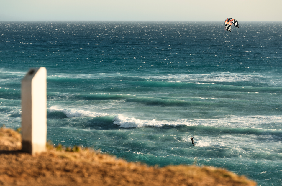
The high seas represent all marine areas that do not belong to any state. On land, this represents 60% of the planet's surface. Although this zone is not subject to any state sovereignty or jurisdiction, it is nonetheless possible to fly over it, lay submarine cables and pipelines, create artificial islands (authorized by international law), fish, carry out scientific research and, of course, navigate freely, whether by boat, surf or any other water sport discipline.
What jurisdiction is involved in a law of the sea dispute?
The International Tribunal for the Law of the Sea (ITLOS) is an independent judicial body that was established by the United Nations Convention on the Law of the Sea (1982). It has jurisdiction over disputes related to the delimitation of maritime zones, navigation, conservation and management of marine living resources, protection and preservation of the marine environment and marine scientific research.
What is a marine protected area?
Since 1992 and the Rio Earth Summit, marine protected areas (MPAs) have been established. These areas are set aside by law or other provisions, including custom, with the aim of granting marine or coastal biodiversity a higher degree of protection than that enjoyed by the surrounding environment. Currently, 67% of French overseas reefs are covered by a marine protected area. By 2025, France is committed to protecting all its reefs.
What is the size of France's maritime territory?
With a total of approximately 11 million km², France's maritime space is the second largest in the world after that of the United States. Overseas territories generate 97% of this space. Consequently, France shares maritime delimitations with 31 States, 21 of which have concluded maritime delimitation agreements.
